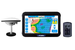
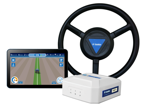
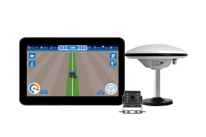
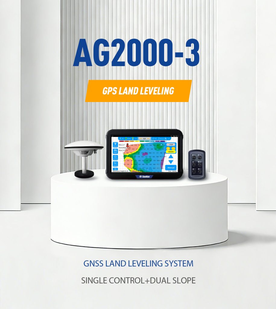
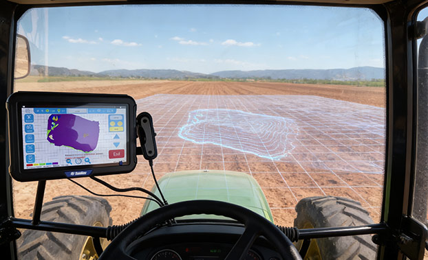
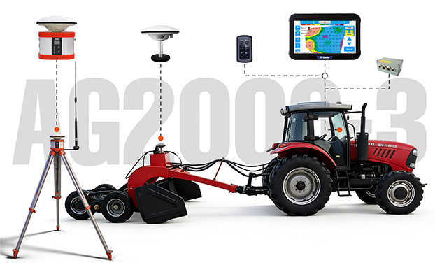
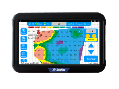
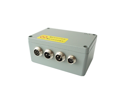
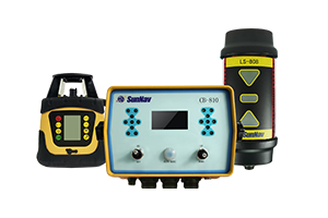
Introduction
AG2000-3
GNSS Land Leveling
Function
Compatible
Different Scrapers
Powerful
Single / Dual Slope leveling Flat leveling
3D MAP
Display real-time height difference information during Leveling Land survey function, length and area measurement
Effect
Save over 25% on water
Increase land utilization efficiency by over 10%
Adjustable Control Precision
Adjustable control precision, adjustable solenoid valve response sensitivity
System components

CONTROL TABLET

Control Box
It is a high-precision positioning control box for controlling the operation of machinery and equipment.
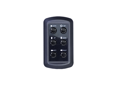
Remote Controller
Remote Controller is a manual controller, waterproof and dustproof is IP65
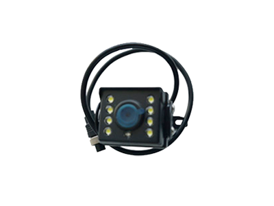
Camera(Optional)
Pixel: 720P Support reversing image
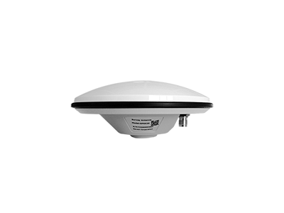
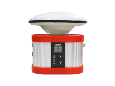
GNSS Antenna
GNSS antenna can give high precision and heading.

Base Station(Optional)
Applications
PrecisionAgriculture
HydraulicEngineering
Sports Ground Construction
AirportConstruction
FAQ
The AG2000-3 is a high-precision land leveling solution developed by SunNav. It utilizes advanced GNSS technology to automate grading tasks in precision agriculture and large-scale construction, ensuring superior accuracy compared to traditional laser leveling
This system is versatile and widely used for:
Precision Agriculture: Paddy and dry land leveling, wasteland restoration, and land remediation .
Construction: Airport runways, large-scale stadiums, and water conservancy projects.
Slope Management: Slope land conversion and dual-slope leveling
The system delivers professional-grade precision with a work accuracy of ±2cm. Its RTK positioning performance reaches 1cm + 1ppm horizontally and 1.5cm + 1ppm vertically, ensuring flat and consistent surfaces across large areas
To ensure a stable signal globally, the AG2000-3 is compatible with all major satellite constellations, including:
BDS (B1I/B2I/B3I), GPS (L1/L2/L5), GLONASS (G1/G2), Galileo (E1/E5a/E5b), and QZSS (L1/L2/L5)
Yes. The AG2000-3 supports Single Slope, Dual Slope, and Flat Leveling modes. The Dual Control configuration is available as an optional upgrade for complex grading requirements
Absolutely. The controller tablet features an IP65 rating, making it highly resistant to water and dust. It is designed to operate in extreme temperatures ranging from -20°C to +60°C
- Earthwork Volume Calculation: Automatically estimate soil movement.
- 3D Terrain Mapping: Visualize the land surface in real-time.
- One-key Benchmark Setting: Simplify the setup process.
- Real-time Trajectory Highlighting: Monitor work progress live
Yes, the system is designed to be highly compatible with various types of scrapers and tractors, allowing for easy integration into your existing machinery fleet


